Get Outside with the T

The T is here to help you get outside this summer. Whether you want to walk the city or take a weekend getaway, this guide can help you find outdoor activities that are just a short walk away from a T stop.
Click the button under a destination to get suggested routes and fare calculations for your journey.
Already know where you want to go? Jump to a section below:
Weekend Rail
Take unlimited Commuter Rail trips on Saturdays and Sundays for just $10.
Get Outside the City
Cape Cod
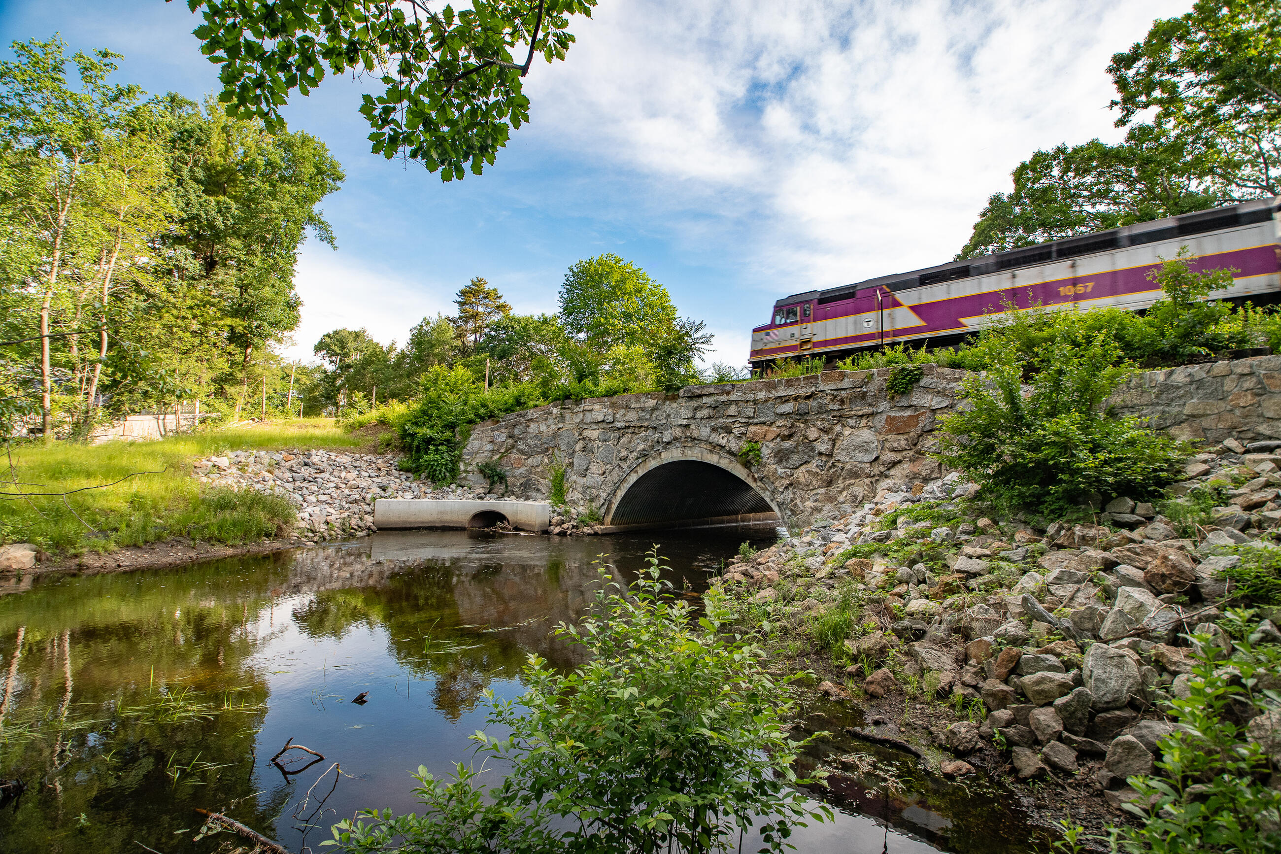
From Memorial Day weekend to Labor Day, beat the traffic with weekend Commuter Rail service to Cape Cod. The CapeFLYER runs from Friday evening to Sunday night, is fully accessible, and offers reduced fares and group rates.
- Connect with ferries to Nantucket and Martha’s Vineyard
- Bring your bike along and park it in the dedicated bicycle car
With 114 miles of bike paths and over 70 miles of trails, Cape Cod has plenty of ways to get outside.
See the National Parks Service activities guide for Cape Cod
North Shore
This historic coastal city has plenty of sights to see, and it’s just a short ride from Boston. Salem station is within a 10-minute walk of The Burying Point and Salem Witch Trials Memorial.
You can also take the 455 bus to Ryan Brennan Memorial Skate Park or Pioneer Village.
Scenic Rockport is about an hour away from the city, and home to the fishing shack Motif No. 1—the most often-painted building in America.
From Rockport station, it’s just a 5 – 10 minute walk to downtown and the beach.
Take the T to Lynn station and you’ll be right in the heart of downtown, just steps away from the Central Square Farmers Market.
Downtown Lynn is bursting with unique murals and lighting installations—the perfect place to snap some photos with friends.
South Shore
You can take the 215 bus from the station to the Quincy Quarries, a popular rock climbing area with trails that connect to the Blue Hills Reservation.
Nantasket Beach in Hull is just a 20 minute ride on the 714 bus from Pemberton Point.
For a scenic ride on the water, take the Hingham/Hull ferry across the Hingham Bay to Hewitt’s Cove or Georges Island.
Explore Boston Parks
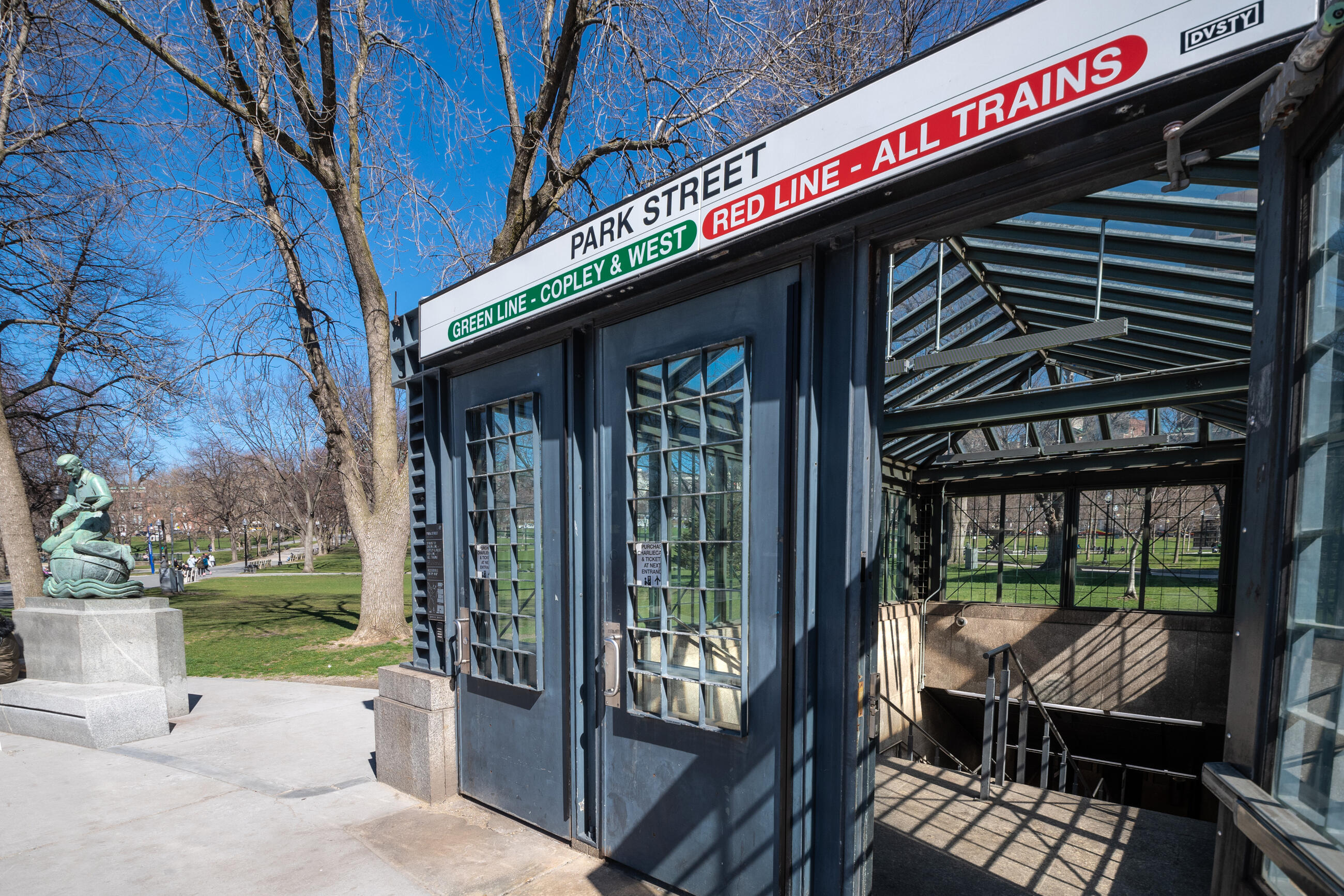
There are tons of parks in Boston—no matter where you are in the city, there's a park within a 10-minute walk.
Below is a list of popular parks, with links to helpful information and buttons for directions taking the T.
You can also find a park nearby using this interactive map of Boston playgrounds, which lists features like basketball courts, swings, sports fields, and fitness stations.
Founded in 1634, Boston Common is the oldest city park in the United States. Beat the heat in Frog Pond, ride the carousel, play fetch in the off-leash Common Canine areas, or meet up with friends at the Brewer Fountain Plaza.
Across from the Boston Common is the Public Garden, a Victorian-style botanical garden open to the public.
The Garden is the perfect place to relax on a summer day: admire over 80 species of plants, take a ride on an iconic Swan Boat, or lay out a picnic blanket and people-watch for the afternoon.
Just a few blocks from Maverick station, Piers Park is the best place to go for a view of the Boston skyline.
There are plenty of picnic tables and benches, a paved walkway on the pier, and a playground with restrooms nearby.
This green space along the river features a paved path, public dock, and beautiful view of Charles River.
The Esplanade is just a few blocks from the Public Garden, and is easy to reach from either Arlington or Charles/MGH station.
The Charles River Reservation area in Lower Allston features several playgrounds and paths, and there are lots of outdoor activities nearby:
- Skate park at Smith Playground
- Wading pool and spray deck at Artesani playground
- Canoe and Kayak rental
The Rose Kennedy Greenway is the perfect place to relax with a drink, cool off in a fountain, take a spin on the carousel, or grab a bite to eat from a food truck.
Accessible from Haymarket, Aquarium, and South stations, the Greenway stretches from Chinatown to the North End and is home to hundreds of activities and events.
Right across from Forest Hills station is Harvard University's free outdoor tree and plant museum, which offers walking tours & family activities.
You can also check out the Roslindale Farmers Market while you’re in the area.
From Forest Hills station, it's a short bus ride to Franklin Park, the largest park in Boston’s Emerald Necklace. In addition to trails, sports fields, and playgrounds, the park has historic features and is home to the Franklin Zoo.
The Boston Nature Center has two miles of trails that are home to hundreds of natives plants, birds, and butterflies.
- Three trails with varying lengths and features
- All Persons Trail: an accessible 1-mile loop with interpretive stops in audio, braille, and print
- Nature Play Area for gardening, building, climbing, and unstructured exploration, with raised tables for digging in sand and dirt
The nature center is a 10-15 minute walk from nearby bus stops, or a 30-minute walk from Forest Hills station.
Walk Through History
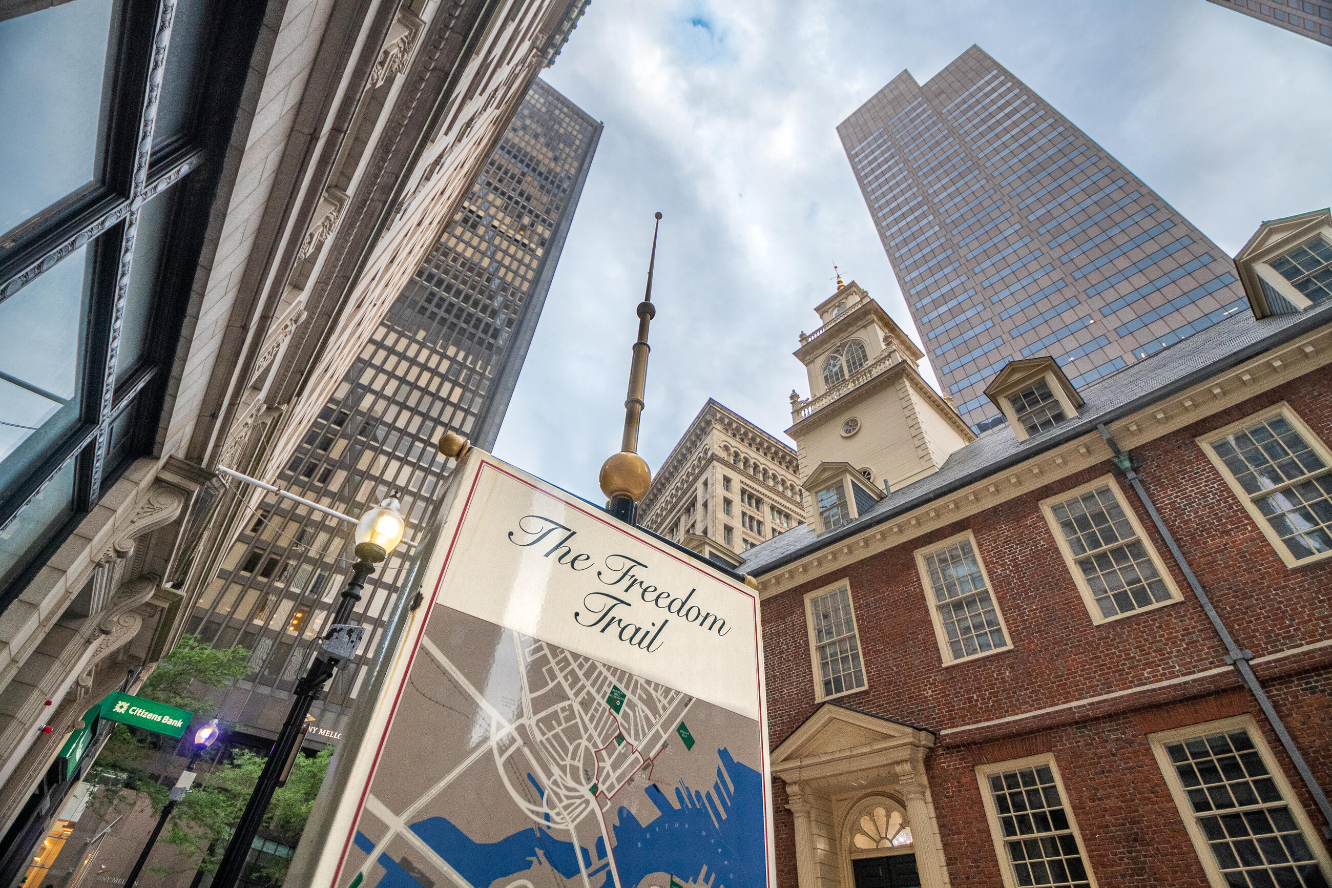
Freedom Trail and Black Heritage Trail
Boston’s Freedom Trail starts at the Boston Common Visitor’s Center, between Park Street and Boylston Street stations—the oldest underground stations still in use in the country.
The Black Heritage Trail begins at Abiel Smith School near Bowdoin Station, and crosses the Freedom Trail between the Massachusetts State House and Park Street Church.
The Boston Women’s Suffrage Trail begins at the Massachusetts State House near Park Street and Government Center stations, and has several sites in common with the Freedom Trail and the Black Heritage Trail.
The 2.5-mile Freedom Trail links many historic sites in the city. You can walk the whole trail, or take the T to the spots you’re most interested in:
- Massachusetts State House
- Park Street Church
- Granary Burying Ground
- King’s Chapel and Burying Ground
- Boston Latin School Site/Benjamin Franklin Statue
- Old Corner Bookstore
- Old South Meeting House
- Old State House
- Boston Massacre Site
- Faneuil Hall
- Paul Revere House
- Old North Church
- Copp’s Hill Burying Ground
- USS Constitution
- Bunker Hill Monument
The historic buildings along the 1.6-mile Black Heritage Trail were the schools, businesses, churches, and Underground Railroad sites of Boston’s black community during the 18th and 19th centuries.
You can walk the whole trail, or take the T to the spots you’re most interested in:
- Abiel Smith School
- African Meeting House
- Smith Court Residences
- John Coburn House
- Lewis and Harriet Hayden House
- Charles Street Meeting House
- John J. Smith House
- The Phillips School
- George Middleton House
- 54th Regiment Memorial
You can also join the National Park Service on a guided walking tour along the Black Heritage Trail in Beacon Hill.
Learn more about joining a Black Heritage Trail walking tour
View an interactive map of the Black Heritage Trail
Note: The Robert Gould Shaw Memorial, African Meeting House, and Abiel Smith School are open to the public. All other sites are privately owned and are not open to the public.
The Women’s Suffrage Trail highlights Boston sites where women protested, organized, and were imprisoned while fighting for the right to vote.
You can walk the whole trail, or take the T to the spots you’re most interested in:
- Massachusetts State House
- Woman’s Journal Offices
- Parkman Bandstand
- Wilbur Theatre
- Orpheum Theatre
- Massachusetts Woman Suffrage Association (Horticultural Hall – now demolished)
- Emmeline Pankhurst Speech Site at Tremont Temple
- Old City Hall
- Faneuil Hall
- Woman’s Detention Center
- Charles Street Jail
- Josephine St. Pierre Ruffin Home
- Louisa May Alcott Home
- Betty Gram Swing Home
- The Phillips School
- Nichols House Museum
- Julia Ward Howe Home
- Boston Women’s Memorial
- Kensington Building
- Chauncy Hall
- Boston Public Library
Visit the Harbor

Boston Harborwalk
The Harborwalk is almost 40 miles of live music, landmarks, public art, trails, and beaches connecting multiple Boston neighborhoods along the water.
If you’re coming in on the Commuter Rail, North and South stations are great starting points—both are just a couple of blocks away from the Harborwalk.
For directions to beaches along the Harborwalk, jump to the beaches section.
Ride a Ferry
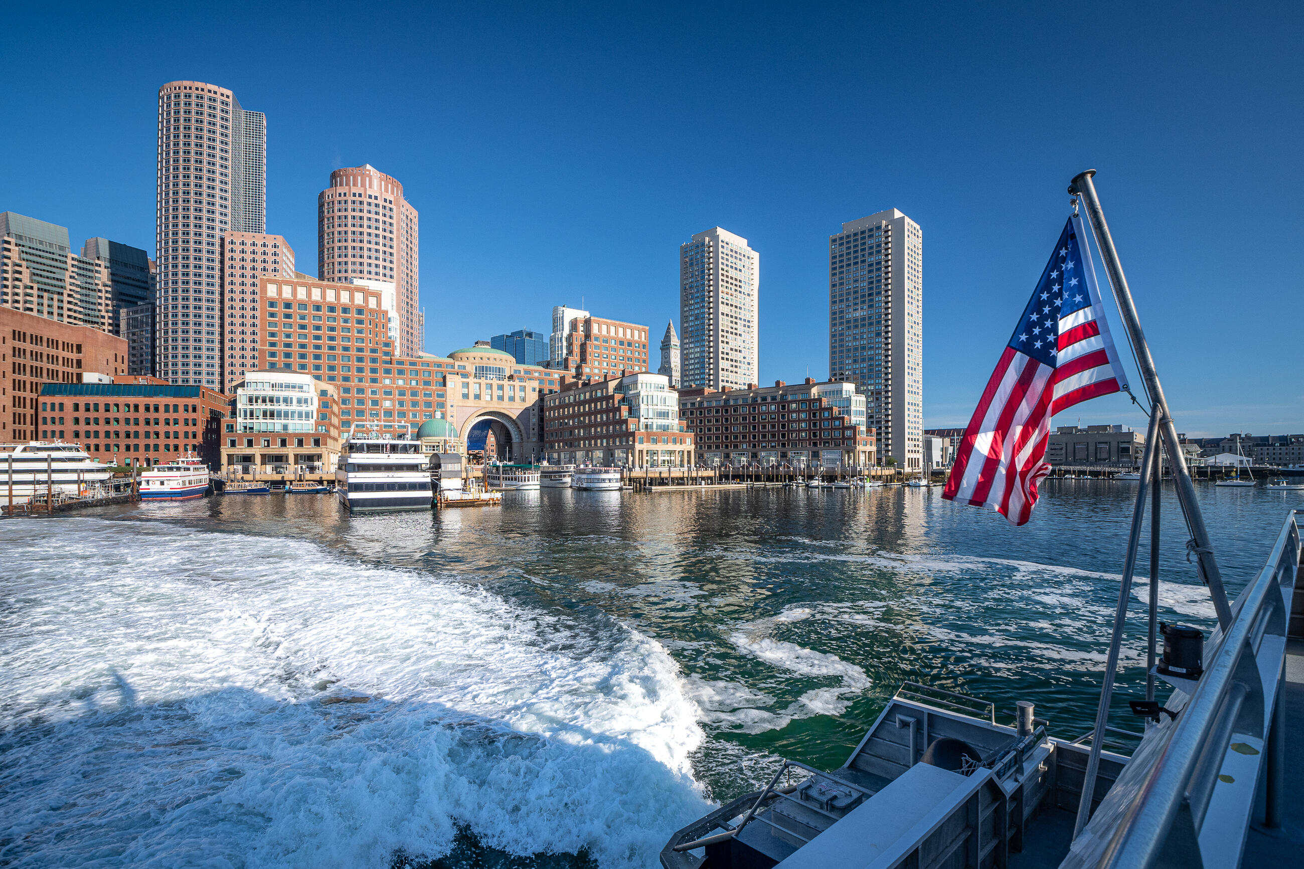
The T has ferry terminals at the Boston Harbor, Charlestown Navy Yard, Hingham and Hull, and the airport. Ferries are a fun way to explore the Boston Harbor Islands—and get a great view of the city from the water.
Learn more about traveling on the ferry
Catch a ride on the Hingham/Hull ferry to Georges Island, where you can explore the Civil War-era Fort Warren, check out the visitor’s center exhibits, or relax with a picnic.
Ferries to Georges Island operate seasonally starting Memorial Day weekend.
Take the scenic route to Charlestown—it’s just a 10-minute ferry ride across Boston Harbor to visit Bunker Hill, the Charlestown Navy Yard, and the USS Constitution.
Pemberton Point (also known as Windmill Point) is a peninsula near the Hull ferry terminal. From here, it’s a 3-mile walk to Fort Revere, a historic fort dating back to the 1700s. At the fort, you can get a great view of Boston Harbor from the top of Telegraph Hill.
Take the Hingham/Hull ferry to Hewitt's Cove and you'll be less than a mile away from Back River Wildlife Sanctuary. From here, you can follow a trail that goes through Bare Cove Park and ends at the Hingham Skatepark near the West Hingham Commuter Rail station.
Take the Lynn ferry and check out the Lynn Shore and Nahant Beach or the waterfront Red Rock Park. This ferry runs from spring to fall, so you can see the outdoors of Lynn through a number of seasons.
The spring to fall seasonal Winthrop/Quincy ferry can take you right to the Marina Bay and Quincy Waterfront boardwalk. Walk along the water with family or pets, dine in a number of cafes and restaurants, or walk beyond the boardwalk for a taste of New England history to see the Adams Mansion and other museums and historical sites.
Shop at Farmers Markets
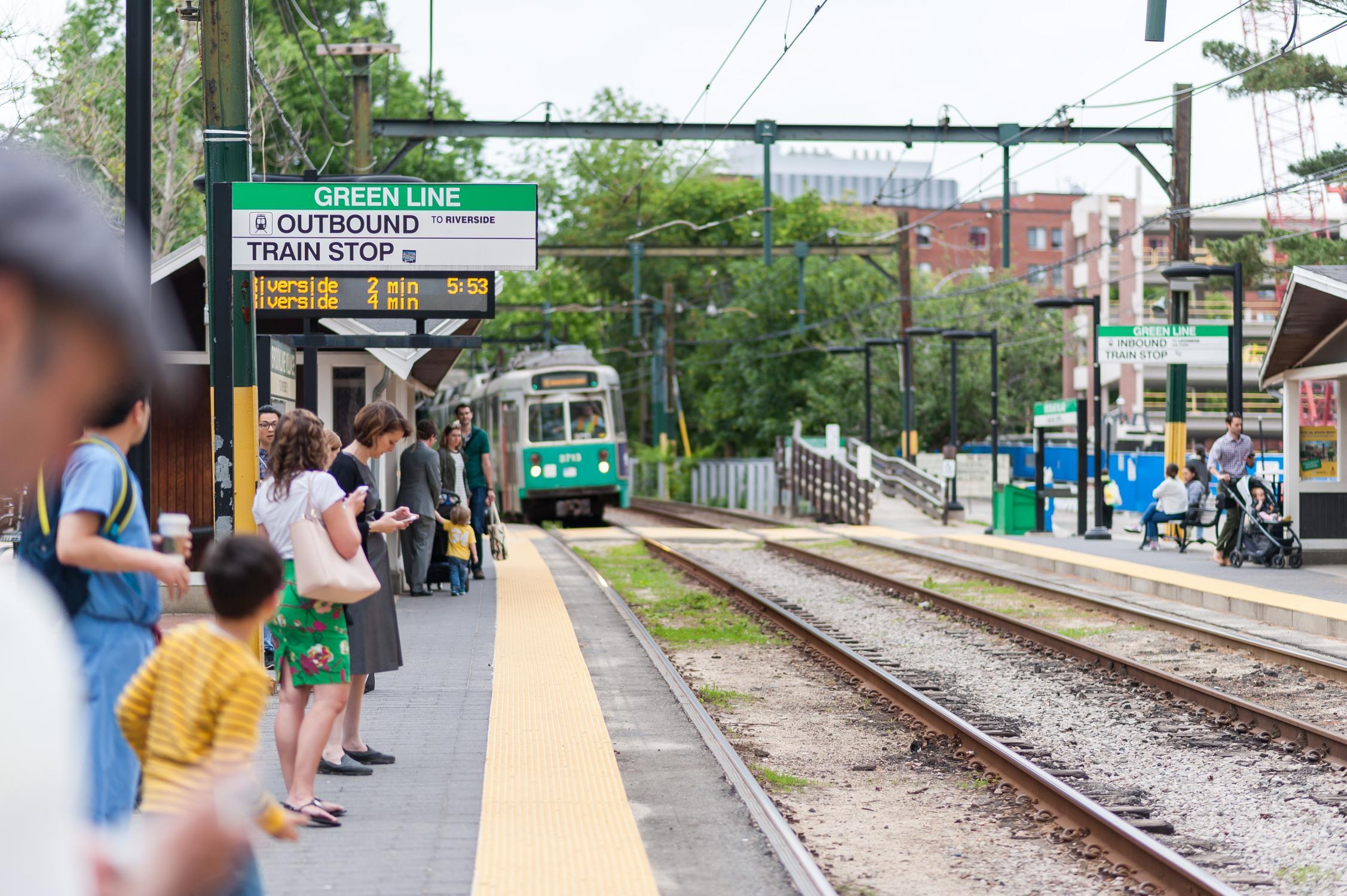
There’s nothing better than a bustling farmers’ market on a warm summer day. It’s easy to take the T to these outdoors markets—and don’t forget, you can use SNAP benefits and get a dollar-for-dollar rebate on fresh fruits and vegetables from HIP farm vendors.
There are many markets across Boston and Massachusetts that are reachable by the T. Find one nearby with the maps below.
Relax at the Beach
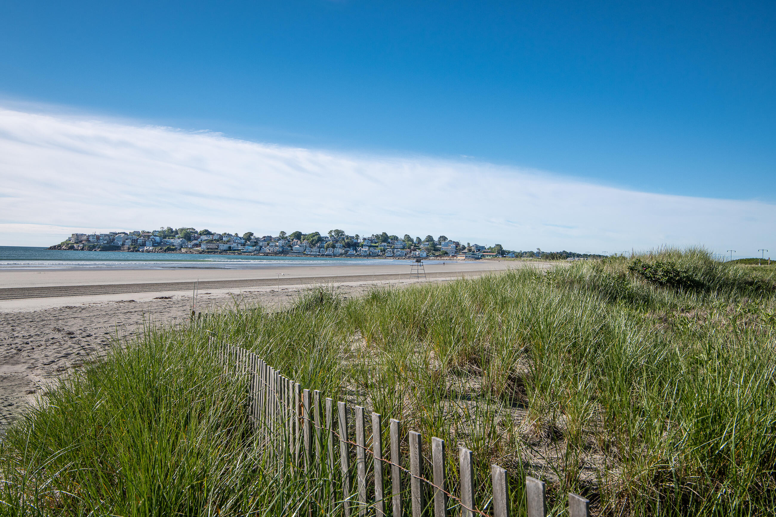
The Massachusetts coastline has lots to offer—sandy beaches to stretch out on, rocky shores with tide pools to explore, and plenty of places to sail or swim. We've picked out some popular beaches that are easy to visit using the T.
Front Beach is a 10-minute walk from Rockport station. There are restrooms and lifeguards on site, and it's right by Bearskin Neck, a popular spot to shop or grab a bite to eat.
Just a 5-minute walk from the closest bus stop, this beach at the Quincy Shores Reservation has a paved path and a great view of Boston across the water.
There are restrooms and lifeguards on site.
Nahant Beach and Playground is a 5-minute walk from Lynn station and has a boardwalk, bathhouse, and lifeguards on duty.
The Blue Line runs between Revere Beach and downtown Boston, making this a popular spot for a beach day.
There are historic sites, restrooms, playgrounds, and a lifeguard on duty.
Carson Beach, Pleasure Bay, and the M and L street beaches form a three-mile stretch along the South Boston shore.
Carson Beach
This beach is easily accessible from JFK/UMass station, and features restrooms, a concessions stand, and a walkway along the water between Castle Island and the Kennedy Library.
L & M Street Beaches
These beaches connect Pleasure Bay and Carson Beach and are two of the longest stretches of beach in Boston—the perfect place to walk or jog along the water.
Pleasure Bay Beach
This beach connects with Castle Island, where you can find a playground, fishing pier, and Civil War-era Fort Independence.
Hit the Trails
Rail Trails
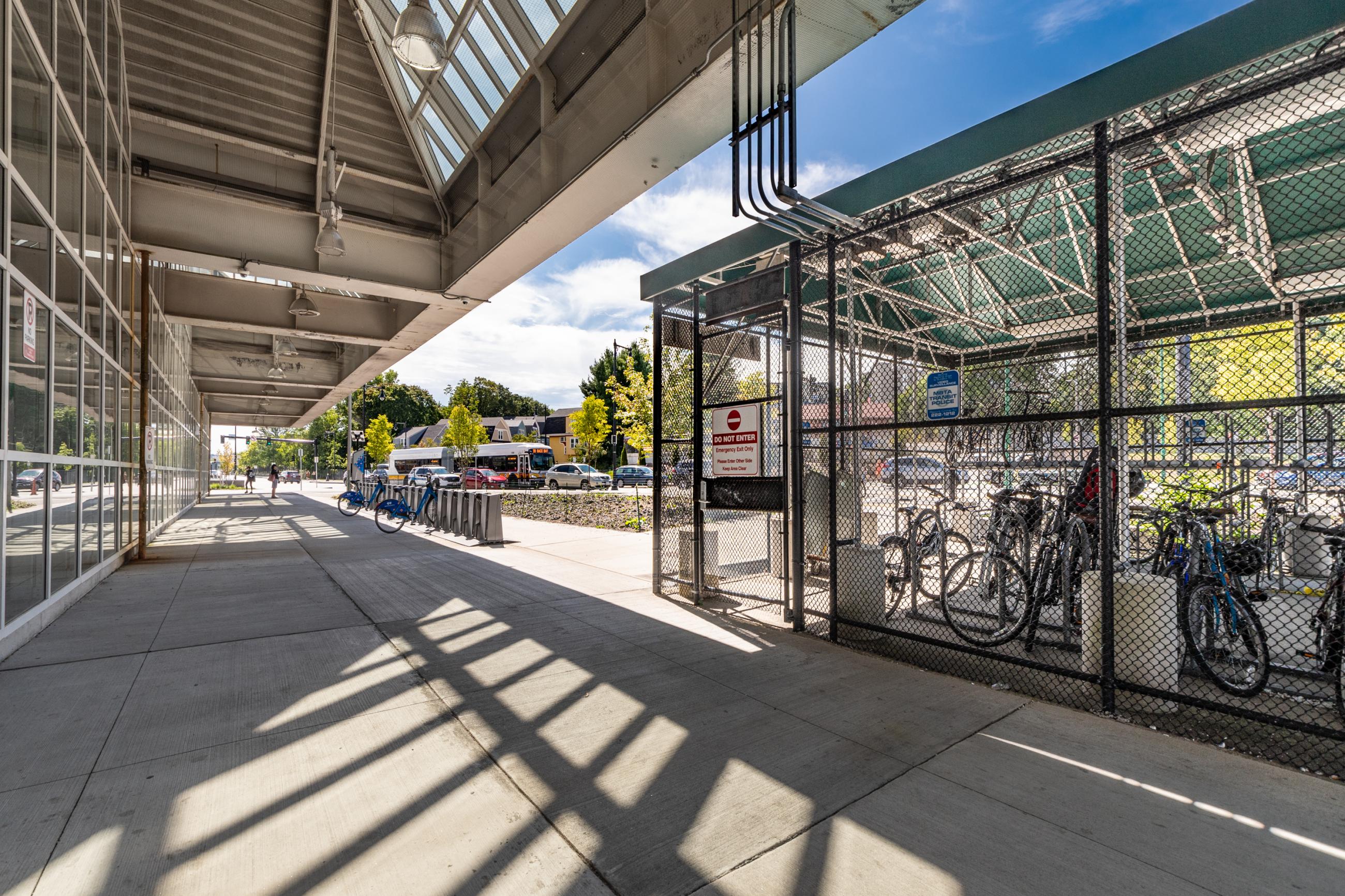
There are more than 400 miles of rail trails in Massachusetts. Rail trails are former railroad rights of way that have been converted to public trails—meaning trailheads are conveniently close to stations.
View a map of Rail Trails in Massachusetts
- The Border to Boston Trail is one of the longest rail trails in the state and comprises several trails listed below. It stretches 70 miles and links about 20 communities from the New Hampshire border to Boston.
Other rail trails near MBTA stations include the following:
Take a Hike
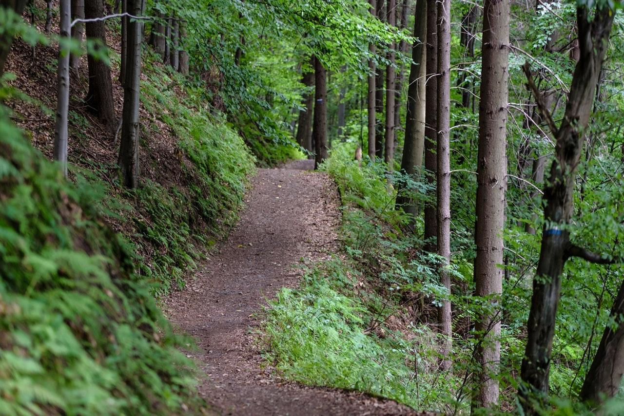
Looking for a park to explore outside of the city? Here are some options for hiking and camping that are easy to reach using the T:
Alewife Brook Reservation
Right next to Alewife Station is Alewife Brook Reservation, an urban forest with areas for hiking and fishing, as well as a playground, athletic fields, and tennis courts. The popular 10-mile Minuteman Commuter Bikeway also starts at Alewife and runs all the way to Bedford, where it connects with the Narrow Gauge Rail Trail.
Wompatuck State Park
This is a great park to hike, bike, camp, and hunt for geocaches. It’s a short walk from Cohasset Station to Wompatuck State Park—just follow the Whitney Spur Rail Trail from the station.
Winter Island Park in Salem
The waterfront Winter Island campsite is just two miles from Salem Station and has a tent sites, a playground, and a public beach with a lifeguard.
The Salem Trolley is the fastest way to the campground. Tickets are available at the Trolley Office just a few blocks from the Commuter Rail station.
Canoe and Kayak
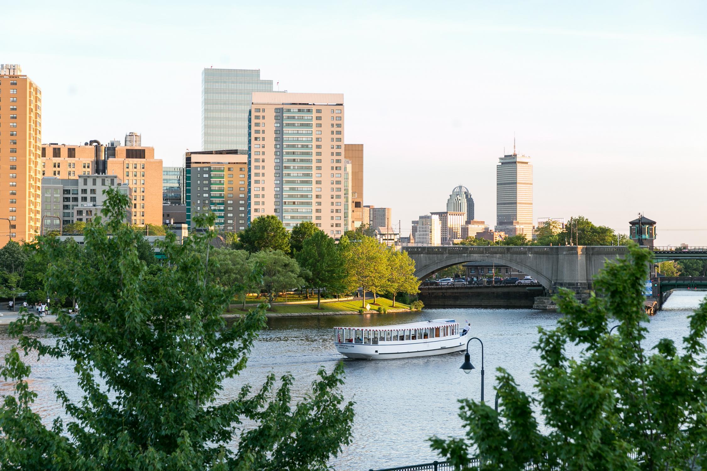
Rentals are available along the Charles River, at Hopkinton State Park, and at Spot Pond in Middlesex Fells State Reservation—all a short walk from a T stop or station.
- Kayaks
- Canoes
- Rowboats
- Paddleboards
- Pedal Boats
- Sailboats (season pass members only)
- Kayaks
- Canoes
- Rowboats
- Sailboats (season pass members)
Plan Your Own Adventure
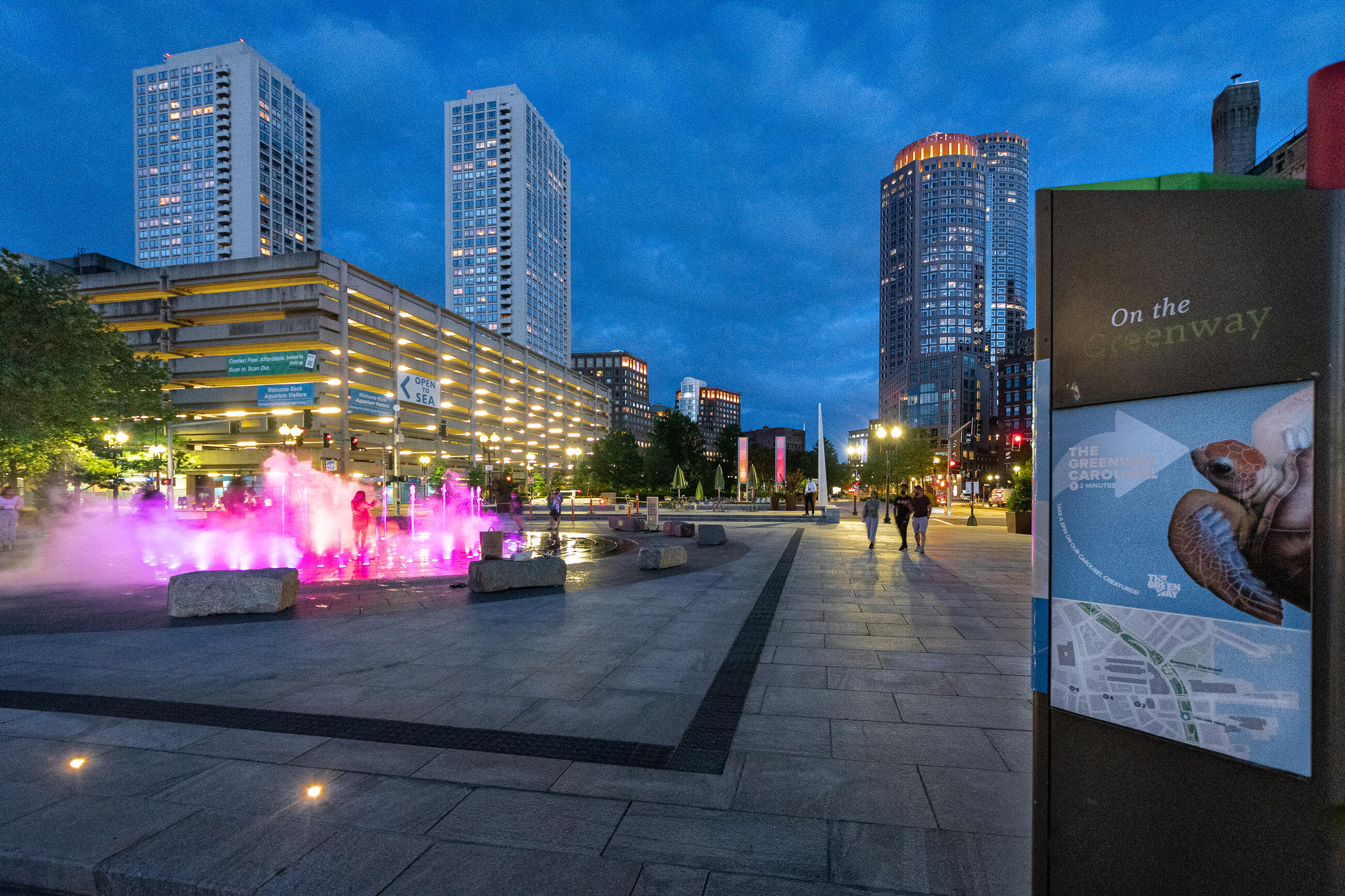
There's more to explore:
More Guides
Our user guides can help you learn how to navigate the system, get to local events, use accessibility features, and more.
Weekend Rail
Take unlimited Commuter Rail trips on Saturdays and Sundays for just $10.
More Guides
Our user guides can help you learn how to navigate the system, get to local events, use accessibility features, and more.
